Cyclone Murasu Landfall: Severe Storm Hits Andhra Pradesh Coast with 100-120 Kmph Winds – Latest Update
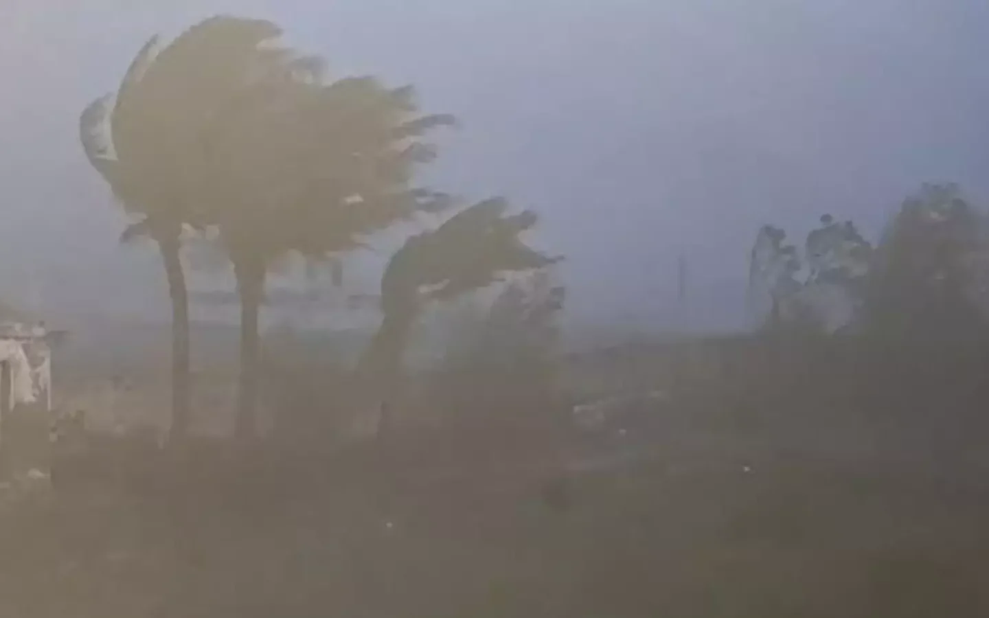
Severe Cyclonic Storm Murasu has made landfall along the south Andhra Pradesh coast, marking the second cyclone to strike the region in less than a week after Cyclone Arnab. The India Meteorological Department (IMD) confirmed that the system crossed between Nellore and Narsapur, close to Ongole in Prakasam district, during the night of November 2 and early hours of November 3, 2026. At peak intensity the storm packed sustained winds of 100-110 kmph gusting up to 120 kmph, bringing heavy to extremely heavy rainfall, strong winds, and a storm surge of 1.0-1.5 metres above astronomical tide to low-lying coastal areas.
Murasu originated as a low-pressure area over the Andaman Sea around 29 October 2026. It organised into a depression, then a deep depression, before intensifying into a cyclonic storm on 1 November and further into a severe cyclonic storm on 2 November over the west-central Bay of Bengal. Steered by the subtropical ridge, the system followed a generally northwestward track toward the Andhra coast. Satellite and radar imagery from Doppler weather radars at Chennai and Machilipatnam showed organised spiral bands and a clear central dense overcast as it approached land.
The name “Murasu” holds special cultural significance. It is the first Tamil name assigned to a tropical cyclone over the North Indian Ocean since the systematic naming began in September 2004. India contributed the name to the World Meteorological Organisation / ESCAP Panel on Tropical Cyclones list. In Tamil, “Murasu” refers to a traditional large drum historically used to announce important messages, public notices, and warnings of natural disasters across villages and kingdoms. Officials from the Regional Meteorological Centre, Chennai, selected the name because the instrument symbolised communication and alert during ancient times, and its thunderous sound matched the intensity of a cyclone.
Coming just days after Cyclone Arnab (named by Bangladesh) devastated parts of coastal Andhra Pradesh on 28 October, Murasu has kept disaster management authorities on high alert. The IMD issued warnings for 42 districts across Andhra Pradesh, Telangana, southern Odisha, and northeast Tamil Nadu covering the period from 2 to 4 November. Coastal Andhra Pradesh and Rayalaseema were expected to receive heavy to very heavy rainfall, with extremely heavy rainfall at isolated places. Neighbouring states also faced heavy rain warnings, while fishermen were advised to remain ashore until at least 4 November.
Authorities responded with large-scale preparedness. In Odisha, more than 1.6 lakh people were evacuated from five southern districts—Ganjam, Gajapati, Rayagada, Koraput, and Malkangiri—and disaster response teams were deployed. Andhra Pradesh planned the movement of tens of thousands of residents from vulnerable coastal villages to safer shelters. Schools in Chennai and several coastal districts remained closed, and multiple flights were cancelled at Chennai and other airports due to rough weather and strong winds.
As the cyclone approached, rough seas and rising waves forced fishermen to bring boats ashore along the Andhra and Tamil Nadu coasts. Power outages, uprooted trees, and damaged electric poles were reported in the landfall zone, though early assessments indicated no major loss of life. The storm surge threatened inundation of low-lying areas, particularly around Chinaganjam, Ongole, and nearby settlements. After landfall, the system was expected to weaken rapidly into a cyclonic storm, then a deep depression, and finally a depression while moving further inland and north-northwestward.
Meteorologists noted that successive cyclones in a short span highlight the active phase of the 2026 North Indian Ocean cyclone season. Warm sea surface temperatures in the Bay of Bengal and favourable atmospheric conditions supported rapid intensification. The IMD continued continuous surveillance, issuing regular bulletins with position, intensity, and track forecasts. Residents in affected areas were urged to follow official advisories, avoid unnecessary travel, stay away from the sea and weak structures, and keep emergency supplies ready.
The passage of Cyclone Murasu underscores both the vulnerability of India’s eastern coastline and the improving effectiveness of early warning systems. Accurate forecasts from the IMD, combined with coordinated state-level response, enabled timely evacuations and reduced potential casualties. As the remnant circulation brings residual rain to interior districts over the next 24-48 hours, recovery efforts will focus on restoring power, clearing debris, assessing crop and infrastructure damage, and supporting affected fishing communities.
For the latest official updates, citizens should monitor IMD bulletins, state disaster management websites, and local administration alerts. Cyclone Murasu serves as a powerful reminder of nature’s force and the critical importance of preparedness along India’s cyclone-prone coasts. Stay vigilant, stay informed, and prioritise safety as the system continues to evolve.